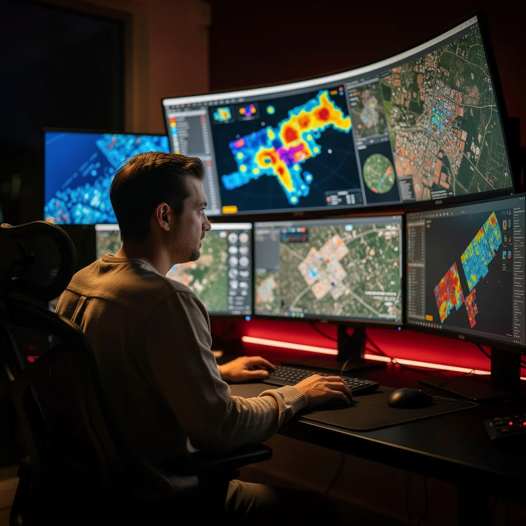
What is Remote Sensing Data Applications?
Remote Sensing Data Applications Training
The Remote Sensing Data Applications certificate program provides a comprehensive foundation in acquiring, processing, and interpreting satellite and aerial imagery for real-world problem solving. Designed for professionals in environmental science, urban planning, agriculture, and disaster management, as well as students seeking a career in geospatial technology, this program delivers the practical ability to analyze remote sensing data and generate actionable insights. By the end of the training, participants will be equipped to design and execute remote sensing workflows that support decision-making in vegetation monitoring, water resource management, infrastructure assessment, and climate analysis.
The program follows a beginner-friendly progression, starting with the fundamentals of remote sensing principles, platforms, and sensors before moving into data acquisition, preprocessing, and image interpretation. It balances theoretical knowledge with hands-on practice across four core skill areas: image classification and change detection, machine learning for remote sensing, time series analysis, and integration with GIS. With the rapid expansion of Earth observation data from missions like Sentinel, Landsat, and commercial constellations, this training is timely for anyone who needs to harness these vast datasets for sustainable development, risk reduction, and environmental stewardship.
What is Remote Sensing Data Applications?
Remote sensing data applications refer to the use of electromagnetic radiation measurements captured by airborne or spaceborne sensors to derive information about the Earth's surface and atmosphere. Core concepts include spectral signatures, spatial and temporal resolution, radiometric calibration, and image classification techniques that transform raw pixel values into meaningful land cover categories, vegetation indices, or thermal anomalies. The field spans a wide range of data types—from optical and multispectral to radar and LiDAR—each suited to different environmental and infrastructural analyses.
Today, remote sensing is indispensable for monitoring global change, managing natural resources, and responding to crises. Governments rely on it for crop yield forecasting, deforestation tracking, and urban sprawl mapping; humanitarian organizations use it for flood and earthquake damage assessment; and climate scientists depend on long-term satellite records to study sea level rise, ice sheet dynamics, and atmospheric composition. The recent shift toward open data policies and cloud-based processing platforms has democratized access, enabling even small teams to conduct sophisticated analyses that were once limited to large agencies.
Mastering remote sensing data applications builds a versatile skill stack that includes image processing, geospatial analysis, statistical modeling, and increasingly, machine learning. This expertise is valuable across sectors such as environmental consulting, precision agriculture, renewable energy siting, disaster risk reduction, and smart city planning. Professionals who can translate raw satellite imagery into actionable maps and reports are in high demand, as organizations seek to leverage Earth observation data for evidence-based policy, operational efficiency, and sustainable innovation.
Common Questions About Remote Sensing Data Applications
Is this remote sensing course suitable for beginners with no prior experience?
What prerequisites are needed for the Remote Sensing Data Applications course?
How does NDVI help in monitoring vegetation health from satellite data?
- Healthy vegetation has high NDVI (0.6–0.9) due to strong NIR reflection.
- Stressed or sparse vegetation shows lower values.
- The course explores NDVI alongside EVI and SAVI to overcome limitations like soil background and atmospheric effects.
What is the difference between pixel-based and object-based classification?
Why is preprocessing essential before analyzing remote sensing data?
How do passive and active sensors differ in remote sensing platforms?
- Passive sensors rely on external illumination and are limited to daytime and clear skies.
- Active sensors provide their own energy, allowing day/night and all-weather operation.
Is it true that remote sensing only works in clear weather conditions?
What Will This Course Bring You?
- Analyze spectral signatures of vegetation and water bodies using multispectral imagery from various sensors.
- Apply preprocessing techniques to correct atmospheric and geometric distortions in satellite data.
- Evaluate land cover classification results using supervised and unsupervised machine learning methods.
- Implement change detection algorithms to monitor urban expansion and infrastructure development over time.
- Design a convolutional neural network for automated feature extraction from high-resolution remote sensing imagery.
- Assess the impact of climate change on agricultural productivity using time series analysis of vegetation indices.
- Integrate remote sensing derived products with GIS for comprehensive disaster risk assessment and response planning.
- Compare different sensor platforms (e.g., Landsat, Sentinel, MODIS) for specific environmental monitoring applications.
Curriculum
12 Units1. Foundations of Remote Sensing
1 hour
2. Remote Sensing Platforms and Sensors
1 hour
3. Data Acquisition and Preprocessing
1 hour
4. Image Interpretation and Classification
1 hour
5. Vegetation and Land Cover Applications
1 hour
6. Water Resources and Hydrology
1 hour
7. Urban and Infrastructure Applications
1 hour
8. Advanced Machine Learning for Remote Sensing
1 hour
9. Atmospheric and Climate Applications
1 hour
10. Disaster Monitoring and Management
1 hour
11. Time Series Analysis and Change Detection
1 hour
12. Integration with GIS and Future Trends
1 hour
Exam – Remote Sensing Data Applications
20 Questions • 70% Pass • 30 min
Unlock All Units for Free
Create an account, enroll in the course, and start with the first unit right away.
Exam – Remote Sensing Data Applications
20 Questions • Pass: 70% • 30 min
Course Duration
720
Total Minutes
12
Unit
1
Final Exam
~60
Min / Unit
Remote Sensing Data Applications Certificate Program
Document Your Skill
Those who pass the 20-question, 30-minute exam with 70% receive the Remote Sensing Data Applications Certificate.
Stand Out on Your CV
By adding your certificate to your CV, gain a professional reference in job applications and stand out from the crowd.
Career Advantage
With the verification code, employers can check your certificate instantly — a concrete way to show your growth.
CERTIFICATE FEE
At the end of the course, an online exam consisting of 20 questions with a 30-minute time limit is given. The exam appears automatically after you complete the topics. Anyone who scores at least 70 out of 100 on the certificate exam is awarded the Remote Sensing Data Applications Document (certificate of attendance). You can add the certificate you earn to your CV for job applications in the many sectors listed above, and use it as a reference proving that you took this interactive course.
The Certificate of Achievement you receive with the Remote Sensing Data Applications course program holds value that proves your personal and professional development in the business world. By adding it to your CV, it can serve as an important reference in your job applications. Moreover, compared with certificates from other private training institutions, Catch Wisdom certificates are offered to our participants at a much more affordable price.
The Remote Sensing Data Applications course certificate is a document that proves, with a unique verification code, that you completed the course. Employers can instantly check its authenticity with this code, which helps you show your development concretely in your job applications.
For more information, we recommend visiting the Support page.
Certificate in 7 Languages
Earning success certificates from our courses is now more meaningful and global. With certificates available in Turkish, English, German, French, Spanish, Arabic, and Russian, we fully unlock the potential of students worldwide.
Why Certificate in 7 Languages?
-
01
Global Skill Development
Receiving your certificates in 7 different languages strengthens your communication skills as you engage with more people worldwide. It lets you operate more confidently and capably on the international stage.
-
02
International Job Opportunities
Employers may see your certificates in multiple languages as a sign of your ability to seize global opportunities. You can open more doors to new jobs and projects.
-
03
Cultural Richness
The chance to earn certificates in different languages helps you build closer ties with various cultures and broadens your worldview. It enriches your global perspective and deepens cultural understanding.
-
04
Ability to Participate in International Projects
Multilingual certificates give you an edge to work more effectively on international projects. They boost your chances of leadership and participation in diverse projects in the business world.
-
05
Prove Yourself on the Global Stage
Certificates in multiple languages give you the opportunity to present your skills and knowledge worldwide.
Language diversity opens worldwide opportunities. If you want to prove yourself in the international arena, join our online Remote Sensing Data Applications course program and begin this journey with us.
Frequently Asked Questions (FAQ)
Is this course paid?
How do I join the course?
Can I take the course at my own pace?
How can I get my certificate?
What are the advantages of the certificate?
Boost Your Career
Take a new career step with the Remote Sensing Data Applications course. Add your certificate to your CV, stand out in job applications, and open the door to new opportunities in the industry.
StartStudent Reviews
No reviews yet
Enroll in this course and be the first to leave a review about your experience with Remote Sensing Data Applications.
Start