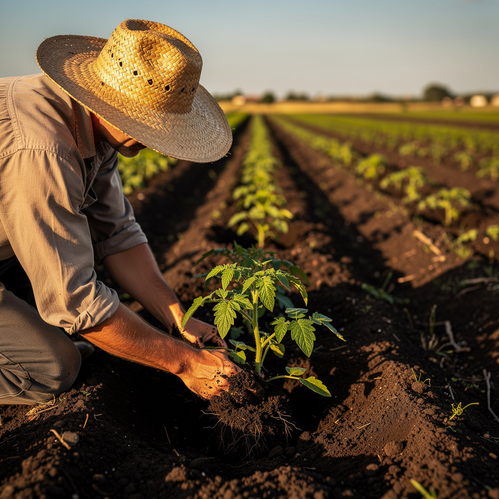
What is Satellite Crop Monitoring?
Satellite Crop Monitoring Training
The Satellite Crop Monitoring certificate program is designed to equip you with the practical skills needed to analyze agricultural landscapes from space. This course is ideal for agronomists, GIS specialists, remote sensing analysts, and forward-thinking farmers who want to leverage satellite data for smarter crop management. By the end of the program, you will be able to access, process, and interpret satellite imagery to assess crop health, detect stress, and estimate yields with confidence.
The program follows a beginner-friendly progression, starting with the fundamentals of remote sensing and satellite systems, then moving through hands-on preprocessing, vegetation indices, and advanced applications like phenology tracking and precision agriculture. You will build a robust skill stack across four core areas: data acquisition, image processing, biophysical interpretation, and decision-support workflows. With free satellite missions like Sentinel and Landsat becoming more accessible, this is the perfect time to master a skill set that is increasingly critical for sustainable food production and climate resilience.
What is Satellite Crop Monitoring?
Satellite crop monitoring is the science of using Earth observation satellites to observe, measure, and analyze crop conditions across vast agricultural areas. It encompasses a range of techniques, from capturing multispectral and radar imagery to deriving vegetation indices like NDVI and EVI, which indicate plant vigor and biomass. The field integrates principles of remote sensing, agronomy, and data science to track crop growth stages, detect anomalies, and model productivity over time and space.
Today, satellite crop monitoring is indispensable in addressing global challenges such as food security, climate change adaptation, and sustainable land management. It is used by government agencies to assess drought impacts, by insurance companies to verify crop losses, and by agribusinesses to optimize inputs like water and fertilizer. Recent shifts toward open data policies and cloud-based processing have democratized access, enabling even smallholder farmers to benefit from satellite-derived insights that were once limited to large enterprises.
Mastering this subject builds a powerful analytical skill stack that combines geospatial literacy, image interpretation, and quantitative reasoning. Professionals who understand satellite crop monitoring can bridge the gap between raw data and actionable agricultural intelligence, making them valuable in roles ranging from precision agriculture consultants to research scientists. Whether you are managing a single farm or analyzing regional food systems, this knowledge empowers you to make evidence-based decisions that improve yields, reduce waste, and promote environmental stewardship.
Common Questions About Satellite Crop Monitoring
Can a beginner learn satellite crop monitoring without prior remote sensing experience?
How does the satellite crop monitoring certificate help in agronomy job applications?
How does NDVI detect crop health from satellite imagery?
What preprocessing steps are needed for Sentinel-2 crop monitoring?
- Radiometric correction: converting raw digital numbers to physical reflectance values.
- Atmospheric correction: removing atmospheric effects to obtain surface reflectance.
- Cloud masking: identifying and removing pixels affected by clouds and shadows.
- Resampling and reprojection: aligning bands and coordinate systems.
Why do raw NDVI curves lie about actual crop phenology?
What is the role of SAR in seeing through clouds for crop monitoring?
Does satellite crop monitoring fail on cloudy days?
What Will This Course Bring You?
- Evaluate the benefits and limitations of satellite-based crop monitoring compared to ground surveys.
- Apply remote sensing principles to select appropriate spectral bands for agricultural analysis.
- Access and download satellite imagery from public data sources like Sentinel and Landsat.
- Implement preprocessing steps such as atmospheric correction and cloud masking on satellite images.
- Calculate vegetation indices like NDVI to assess crop health and vigor.
- Analyze time-series satellite data to track crop growth stages and phenology.
- Detect crop stress and nutrient deficiencies using spectral signatures and indices.
- Estimate crop yield and production using satellite-derived models and field data.
Curriculum
12 Units1. Why Monitor Crops from Space
1 hour
2. Remote Sensing Basics for Agriculture
1 hour
3. Satellite Systems and Data Access
1 hour
4. Preprocessing Satellite Imagery
1 hour
5. Vegetation Indices for Crop Health
1 hour
6. Tracking Crop Growth and Phenology
1 hour
7. Detecting Stress and Nutrient Deficiencies
1 hour
8. Soil and Water Monitoring from Satellites
1 hour
9. Estimating Crop Yield and Production
1 hour
10. Precision Agriculture with Satellite Data
1 hour
11. Practical Workflows and Tools
1 hour
12. Future Trends and Challenges in Satellite Crop Monitoring
1 hour
Exam – Satellite Crop Monitoring
20 Questions • 70% Pass • 30 min
Unlock All Units for Free
Create an account, enroll in the course, and start with the first unit right away.
Exam – Satellite Crop Monitoring
20 Questions • Pass: 70% • 30 min
Course Duration
720
Total Minutes
12
Unit
1
Final Exam
~60
Min / Unit
Satellite Crop Monitoring Certificate Program
Document Your Skill
Those who pass the 20-question, 30-minute exam with 70% receive the Satellite Crop Monitoring Certificate.
Stand Out on Your CV
By adding your certificate to your CV, gain a professional reference in job applications and stand out from the crowd.
Career Advantage
Catch Wisdom certificates are recognized by HR departments and increase career opportunities.
CERTIFICATE FEE
At the end of the course, an online exam consisting of 20 questions with a 30-minute time limit is given. The exam appears automatically after you complete the topics. Anyone who scores at least 70 out of 100 on the certificate exam is awarded the Satellite Crop Monitoring Document (certificate of attendance). You can add the certificate you earn to your CV for job applications in the many sectors listed above, and use it as a reference proving that you took this interactive course.
The Certificate of Achievement you receive with the Satellite Crop Monitoring course program holds value that proves your personal and professional development in the business world. By adding it to your CV, it can serve as an important reference in your job applications. Moreover, compared with certificates from other private training institutions, Catch Wisdom certificates are offered to our participants at a much more affordable price.
Because HR departments recognize Catch Wisdom as a reputable institution in this field, they value these certificates and may evaluate your job applications favorably. For this reason, a Satellite Crop Monitoring course certificate from Catch Wisdom can make your applications more attractive and place you in an advantageous position in the business world.
For more information, we recommend visiting the Support page.
Certificate in 7 Languages
Earning success certificates from our courses is now more meaningful and global. With certificates available in Turkish, English, German, French, Spanish, Arabic, and Russian, we fully unlock the potential of students worldwide.
Why Certificate in 7 Languages?
-
01
Global Skill Development
Receiving your certificates in 7 different languages strengthens your communication skills as you engage with more people worldwide. It lets you operate more confidently and capably on the international stage.
-
02
International Job Opportunities
Employers may see your certificates in multiple languages as a sign of your ability to seize global opportunities. You can open more doors to new jobs and projects.
-
03
Cultural Richness
The chance to earn certificates in different languages helps you build closer ties with various cultures and broadens your worldview. It enriches your global perspective and deepens cultural understanding.
-
04
Ability to Participate in International Projects
Multilingual certificates give you an edge to work more effectively on international projects. They boost your chances of leadership and participation in diverse projects in the business world.
-
05
Prove Yourself on the Global Stage
Certificates in multiple languages let you showcase your skills and knowledge worldwide. You can become an internationally recognized professional.
Language diversity opens worldwide opportunities. If you want to prove yourself in the international arena, join our online Satellite Crop Monitoring course program and begin this journey with us.
Frequently Asked Questions (FAQ)
Is this course paid?
How do I join the course?
Can I take the course at my own pace?
How can I get my certificate?
What are the advantages of the Certified Certificate?
Boost Your Career
Take a new career step with the Satellite Crop Monitoring course. Add your certificate to your CV, stand out in job applications, and open the door to new opportunities in the industry.
StartStudent Reviews
No reviews yet
Enroll in this course and be the first to leave a review about your experience with Satellite Crop Monitoring.
Start